Between 1987 and 1994, a group of researchers from Geneva, led by Pierre Corboud, an archaeologist at the Department of Anthropology and Ecology of the Faculty of Sciences at the University of Geneva (Biology Section), conducted excavations in the valleys and the desert of Fujairah, a few months each year. Their goal: to understand the inhabitants of this region of the Arabian Peninsula during prehistory and more specifically the Iron Age period (from 1350 to 300 BC). The Geneva researchers established the archaeological map of Fujairah (approximately 77 sites with more than 500 archaeological structures). They excavated the remains of tombs and fortified villages and catalogued surrounding petroglyphs. The research was funded by the Swiss-Liechtenstein Foundation for Archaeological Research Abroad (FSLA).
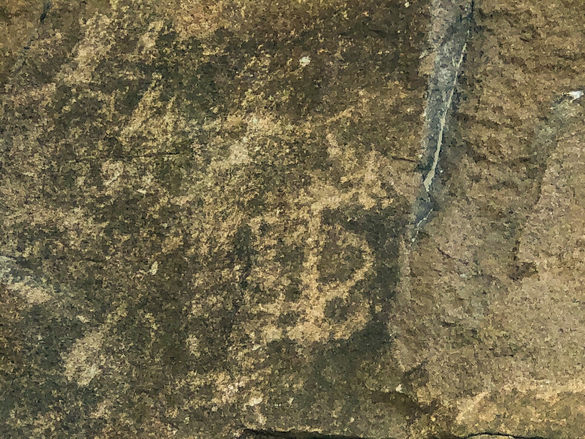
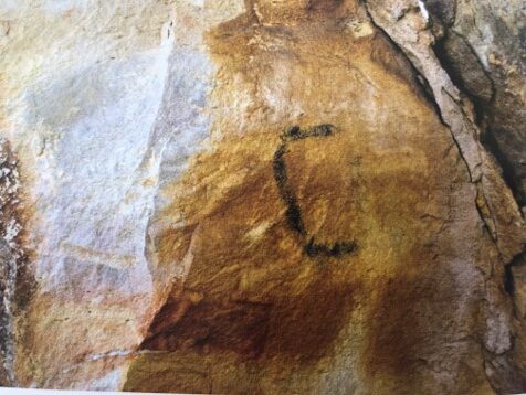
In the stone desert of Fujairah, people engraved drawings onto rocky blocks several thousand years ago. It is difficult to date them precisely, but many clues suggest that they go back to the Iron Age, like the neighbouring graves and fortified camps. “These pre-Islamic populations would represent many potentates with a warrior vocation, having developed sophisticated irrigation systems, a dynamic exchange economy. It is in this context that engravers would have materialized their pantheon and recounted their military battles”, explains Grégoire de Ceuninck, who has taken a particular interest in their case. “However, let’s remember that this proposal remains as plausible as it is unprovable,” the researcher tempers. In total, 272 engraved motifs, grouped on 80 rocky panels scattered across nine sites, were described and photographed by the Geneva archaeologists. These petroglyphs can be found on the population’s passage axes. They were all carved in stone by pecking.
The impacts of the punch are often inaccurate and shallow. The designs never overlap. They are juxtaposed, even if several styles are present on the same panel. Their dimensions range between 10 and 30 centimeters each. “Their relatively modest size is compensated by their accumulation at strategic points. This accumulation gives the sites a spectacular effect,” confides Grégoire de Ceuninck. Half of the time, the drawings are abstract. Riders and stylized characters appear most often. Then, in order of frequency, horses, snakes, camels, and footprints follow. Camel drivers, hands, and quadrupeds are more rarely seen. Occasionally, entire scenes are depicted in stone. They show the confrontation of groups of riders armed with spears. And in the middle, feet of the same size have been engraved. According to the archaeologist, these markings could symbolize territorial control.
There is no shortage of evidence of military events in the region. Pierre Corboud and his team notably carried out excavations at the fortified camp of Husn Madhab. “It is the most interesting and spectacular Iron Age dwelling site known in Fujairah”, according to the archaeologist. Its enclosing wall, preserved in places around 1.50 meters high, encloses a diamond shape of 80 by 50 meters. Two doors, arranged within, provide access. The place resembles a “diamond” placed at the top of a hill (70 meters in altitude). The camp was likely occupied for relatively long periods, and not as an occasional refuge. “We think they are the counterpart of non-fortified villages in the plain”, says Pierre Corboud.
During the Iron Age, the region wasn’t as dry as today. The current climate was just beginning to form, marked by less significant wet periods (the last one around 675 BC). The Arabian Peninsula was about to experience a real revolution with the discovery of copper veins in its mountains (around 1000 BC). This led to the development of trade with neighboring populations. The meaning of the petroglyphs gradually faded, but their marks on the stones remain visible to this day.